Commercial properties
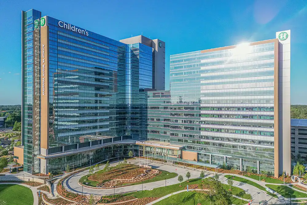
Show building scale, parking, access points, surrounding businesses, and the relationship between the property and its location.
FAA Part 107 certified drone photography and cinematic aerial video for commercial properties, developments, land, and brands throughout Athens and Georgia.
Show the scale. Reveal the setting. Change the perspective.
Aerial photography and video can communicate scale, access, location, progress, and atmosphere in a single frame. I create polished drone media that works as part of a complete commercial production.
Serving across Georgia
Aerial photography
Cinematic movement
Useful perspectives
FAA Part 107 certified remote pilot
High-resolution edited aerial photography
Smooth cinematic aerial video
Perspective with a purpose
The strongest drone images immediately help the viewer understand a place. They show how a building sits on its site, how a property connects to its surroundings, and why the location matters.
The strongest aerial video does the same thing through movement: establishing scale, revealing approach and access, and carrying the viewer smoothly from the broad environment into the details of the story.
Aerial portfolio
Wide establishing views, useful angles, clean overhead compositions, and cinematic movement each communicate something different. The shot plan is built around the final use of the media.
Commercial scale
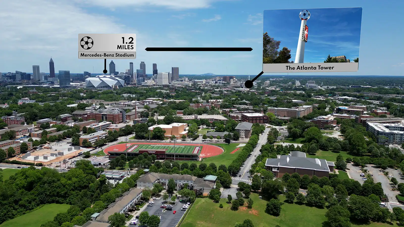
Campaign-ready footage
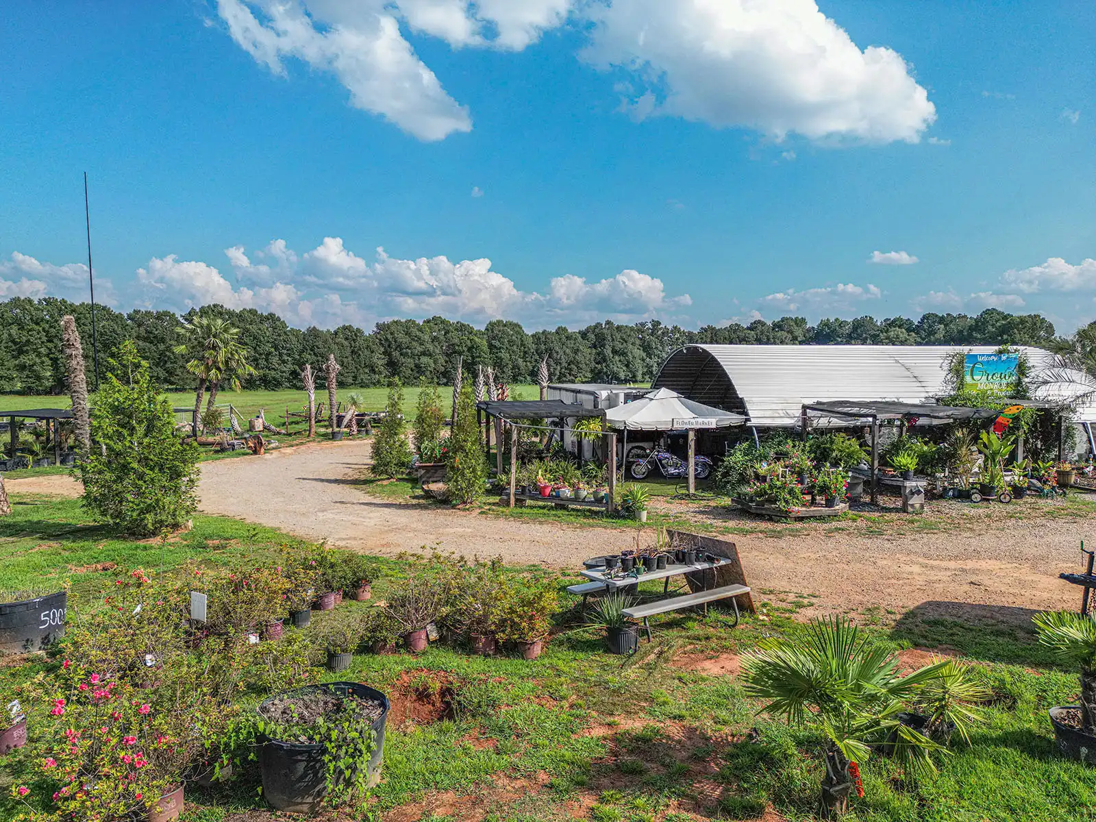
Elevated clarity
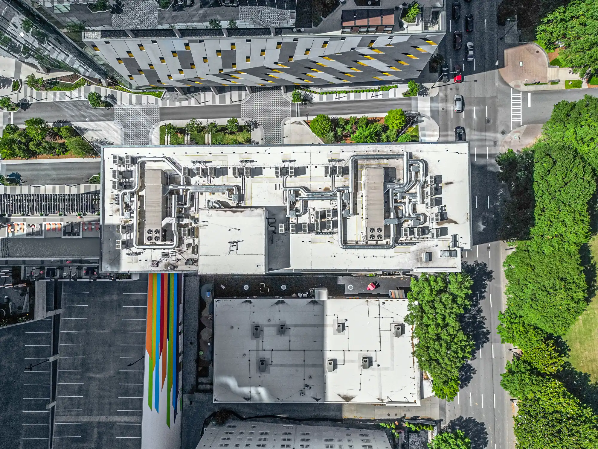
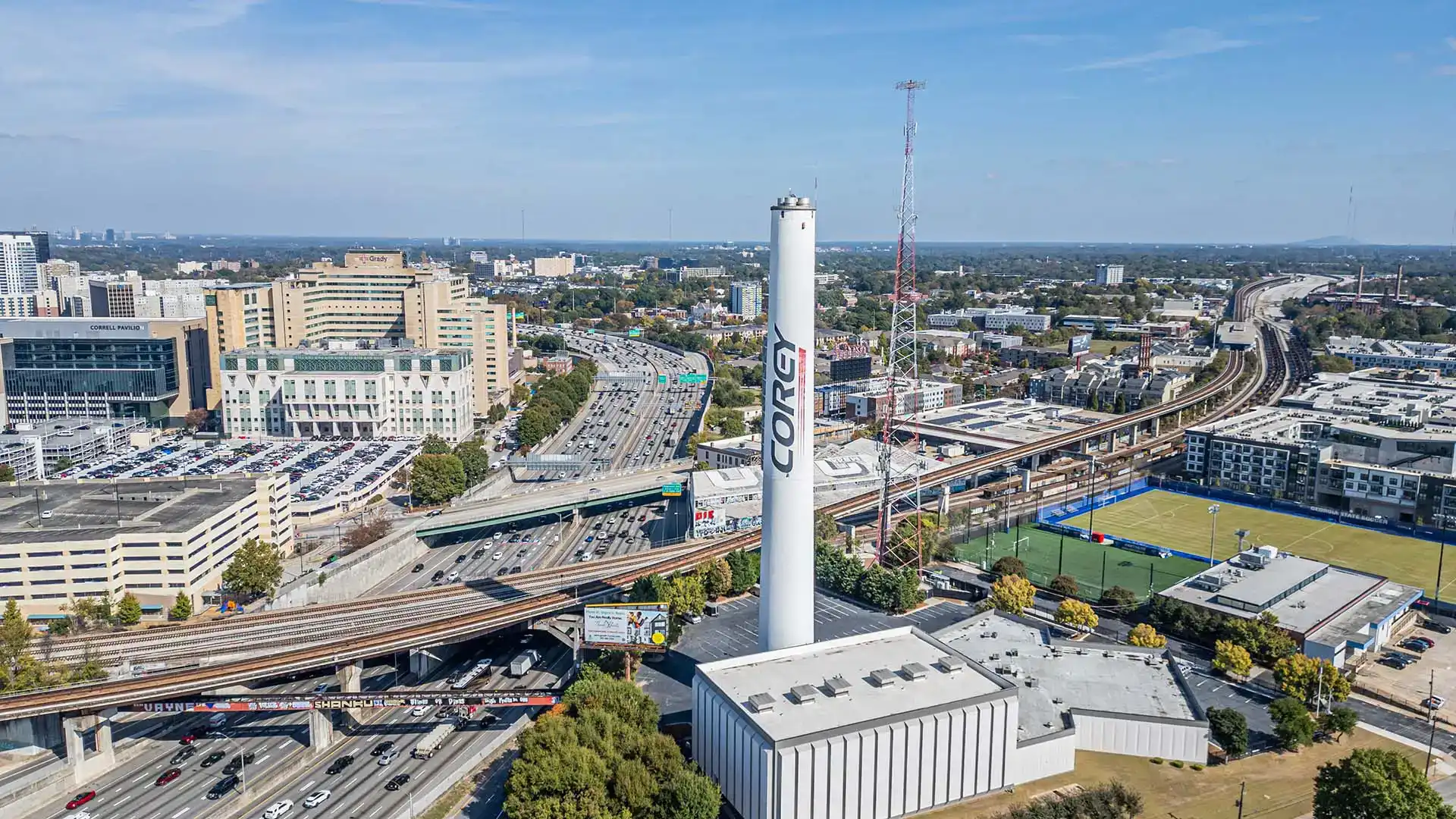
Overhead views
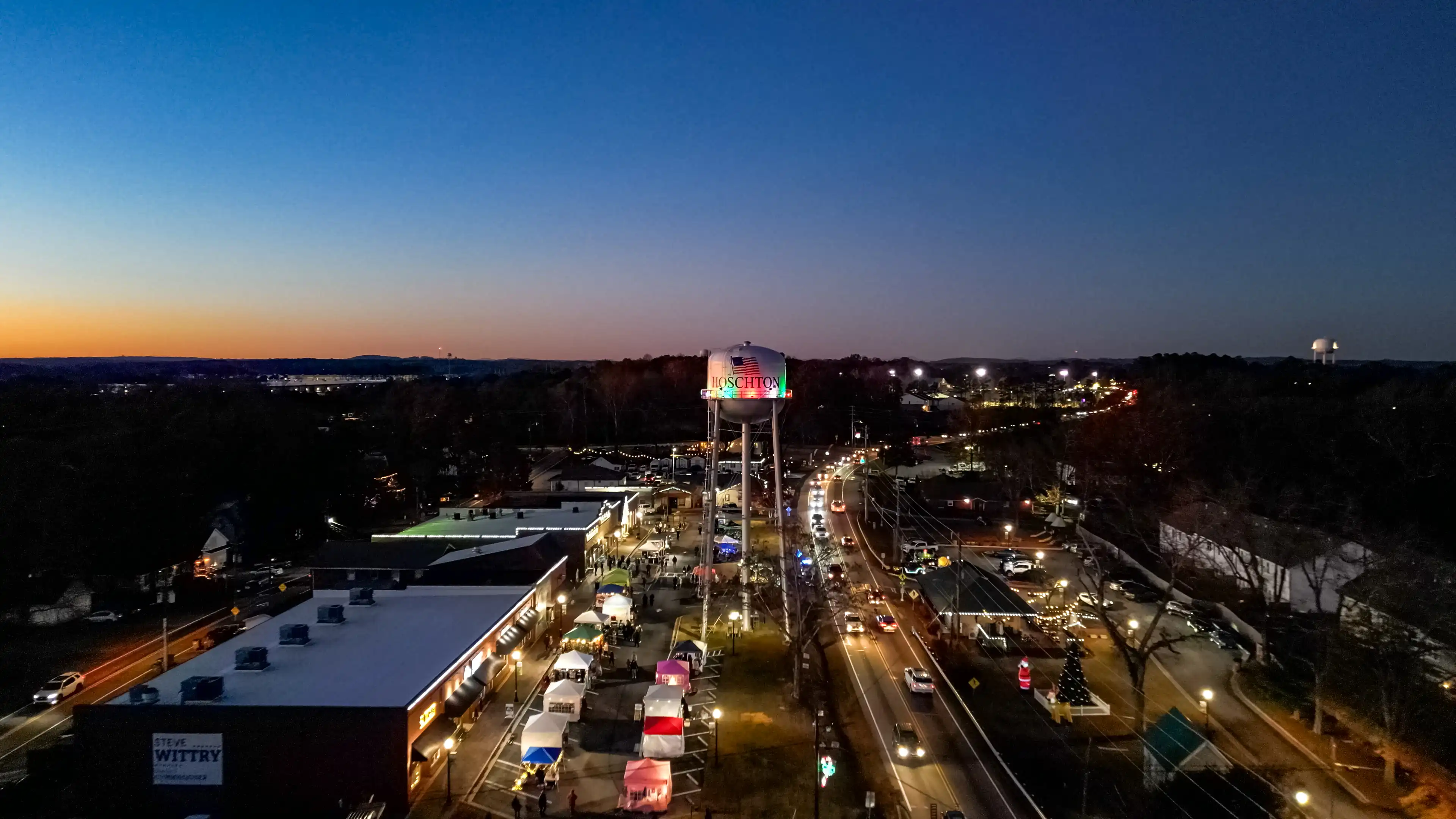
Cinematic perspective
Built for commercial communication
Drone media is most valuable when the property, location, scale, progress, or environment is part of the message.
Show building scale, parking, access points, surrounding businesses, and the relationship between the property and its location.
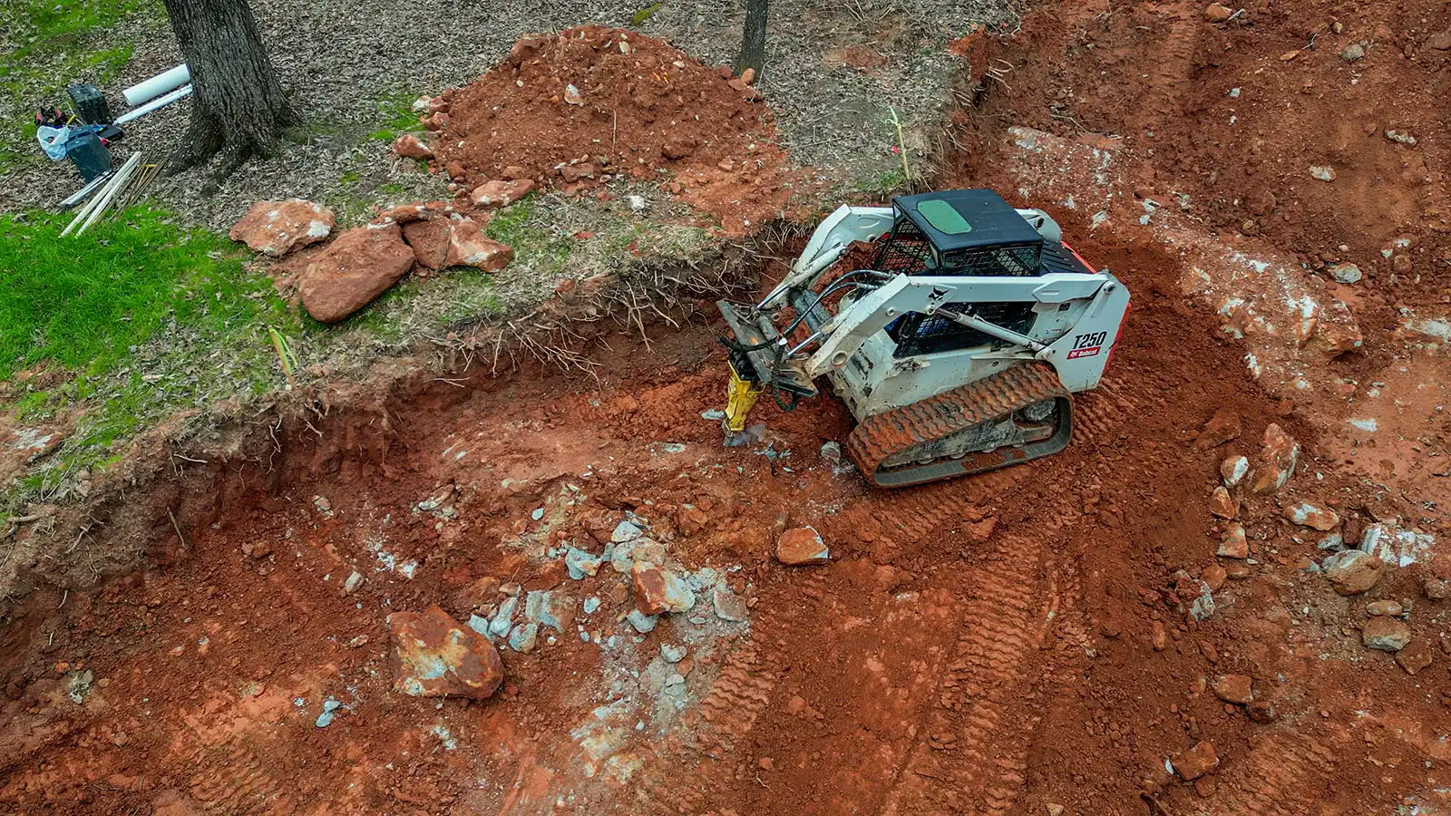
Document progress, communicate site conditions, and create polished visual updates for stakeholders, marketing, and project archives.
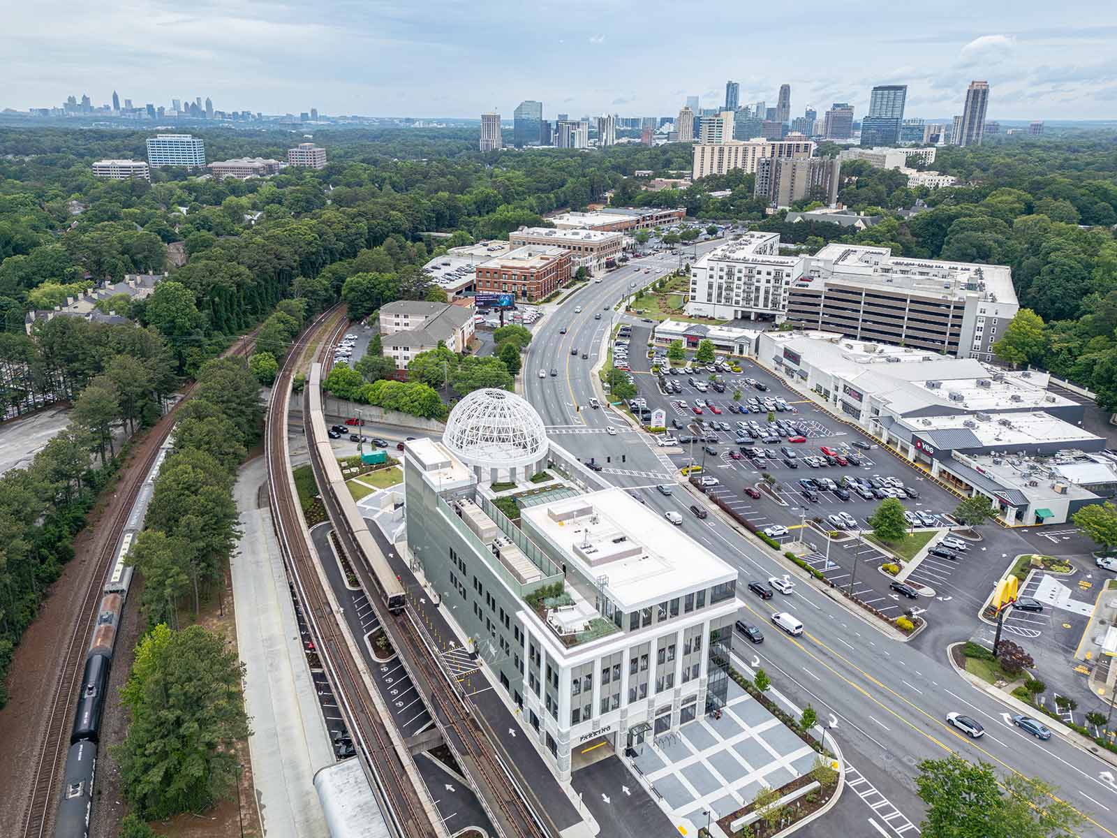
Reveal acreage, boundaries, road access, nearby landmarks, and the broader setting that ground-level photography cannot communicate alone.
Add cinematic establishing shots and high-impact overhead compositions to websites, commercials, social campaigns, and presentations.
Cinematic aerial video
A smooth reveal, orbit, rise, push, or approach can establish a location more effectively than a static image alone.
Aerial footage can be delivered as polished standalone b-roll or integrated with ground-level video, interiors, details, motion graphics, and branded editing for a complete production.
107
FAA Certified
Professional aerial operations
It represents a professional approach to commercial drone work: understanding the operating environment, planning the flight, evaluating conditions, and making responsible decisions before and during every assignment.
Aerial work is performed by an FAA Part 107 certified remote pilot, not as an informal add-on to a camera package.
The property, intended compositions, airspace, access, obstacles, and operational constraints are considered before launch.
Weather, visibility, wind, sun position, and site activity are evaluated so the flight is both responsible and visually productive.
Every flight is planned around the story the finished media needs to tell, not simply around getting the drone into the air.
Every proposed flight remains subject to airspace, weather, visibility, site access, safety, and other operational conditions on the scheduled date.
One commercial package system
Drone coverage uses the same commercial photography and video packages shown on the main service page. This keeps the scope, pricing, ground coverage, aerial coverage, editing, and delivery in one clear proposal.
Add aerial establishing views, overhead compositions, property context, and location-defining images to a commercial photography package.
Build cinematic aerial movement into a finished promotional video, property overview, social campaign, or branded visual story.
Combine interiors, exteriors, details, ground-level motion, and aerial perspective into one cohesive production and delivery workflow.
Review the complete commercial packages.
See the full deliverables, package structure, and production options in one place.
“Chip was very responsive and provided the highest quality drone photos and videos for Watertight Roofing. We are extremely pleased with his work and his positive attitude.”
Commercial drone client testimonial
From objective to delivery
01
Share the location, intended use, required deliverables, deadline, and the most important features the aerial media should reveal.
02
I review the site, airspace, access, weather window, obstacles, and the visual coverage needed for the project.
03
The flight follows a deliberate shot plan while leaving room to respond to the strongest perspectives discovered on location.
04
Selected photographs and footage are professionally edited and prepared for the platforms you specify.
Scheduling flexibility is useful for aerial projects because the strongest visual window may depend on weather, wind, sun position, property activity, and site access.
Ready to take the project higher?
Send the location, project objective, intended use, requested photo or video deliverables, and preferred timing to begin planning the production.